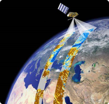
is a comprehensive technology that obtains characteristic information of a target object through sensors mounted on a platform without direct contact with the target object, and then extracts, determines, processes and analyzes the acquired information.
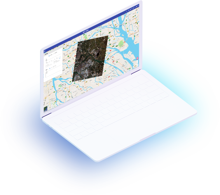
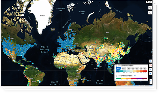
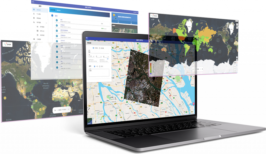
Weihai Wuzhou can provide a variety of satellite images and post-processing services by acquiring long-term series satellite images, and provide services for industry applications such as land surveys, urban planning, environmental protection, disaster monitoring, and forest surveys; it can provide high-precision, wide-range space observation services for departments such as land resources, agriculture, and environmental protection; it plays an important role in geographic surveying and mapping, ocean and climate and meteorological observations, water conservancy and forestry resource monitoring, refined urban and transportation management, epidemic assessment and public health emergency response, and Earth system science research.
Fast data acquisition, wide detection range and high resolution
Continuous, large area, continuous monitoring
No ground monitoring equipment required, low monitoring cost