Skip to content
Weihai Wuzhou
  • Home
  • About Wuzhou
  • Product
    • Satellite locator
    • High-precision dual-frequency low-cost receiver
    • Smart Home Hub
  • Shop
  • System Services and Solutions
    • Smart public transportation system
    • Wind power monitoring system
    • Dam Monitoring System
    • Earthquake processing platform
    • Remote Sensing Tool Platform
    • Tide station management system
  • News
  • Contact us
  • English
    • 中文 (中国)

The Space Science Climbing Team went to relevant units to discuss cooperation and research activities

 
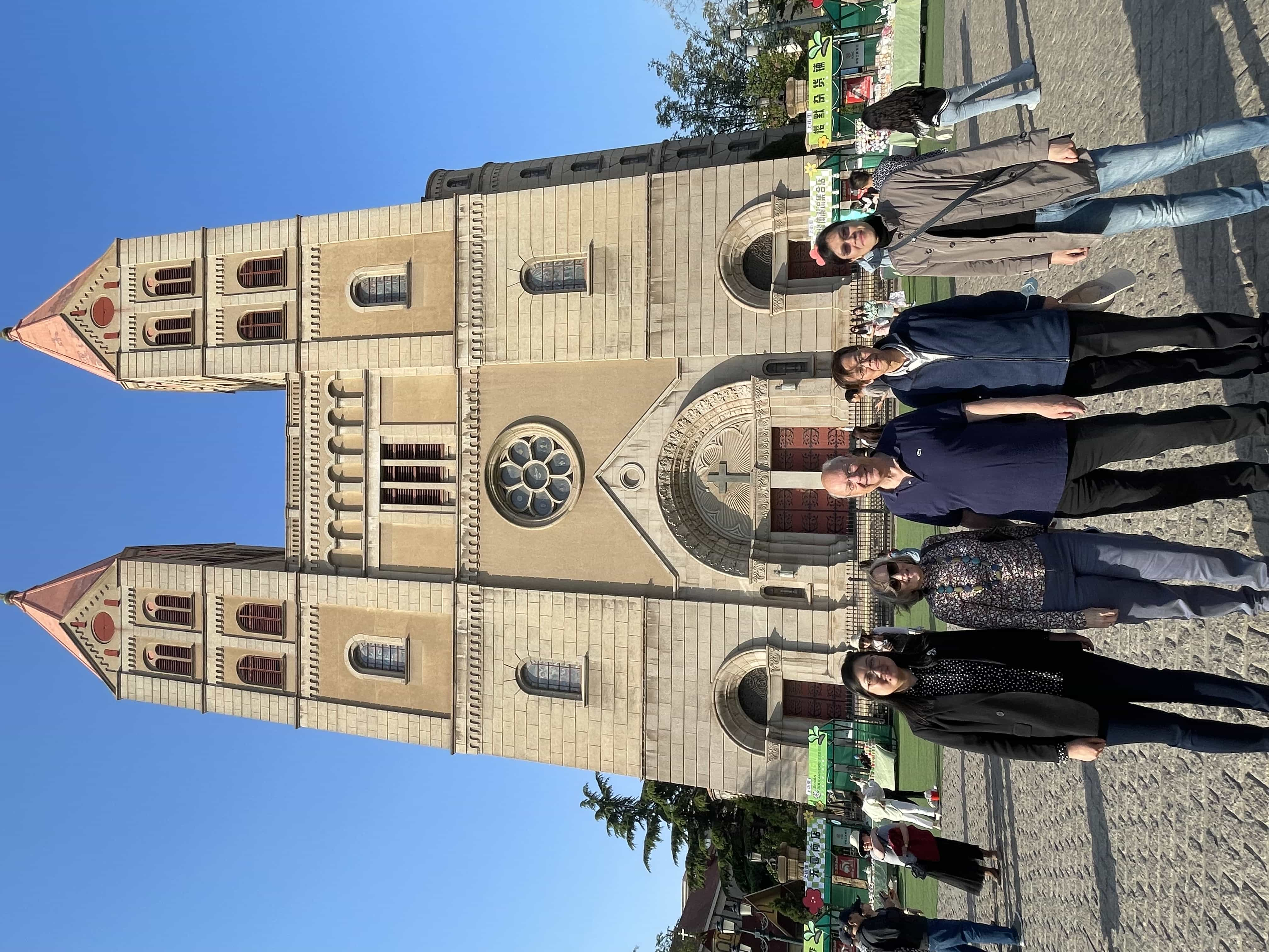
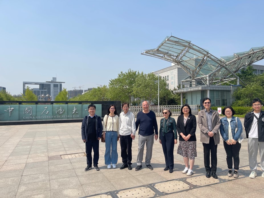
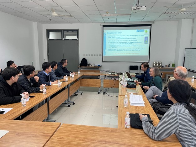
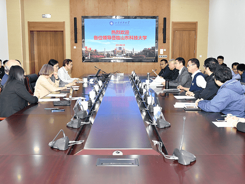
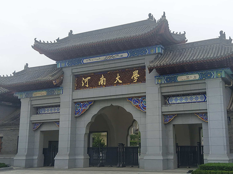
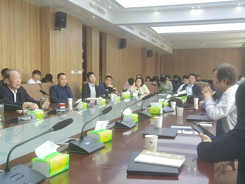
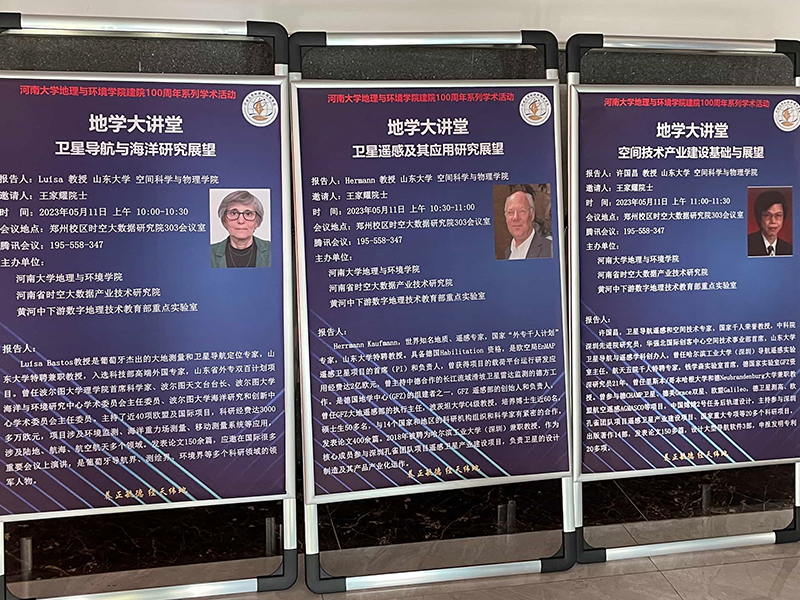
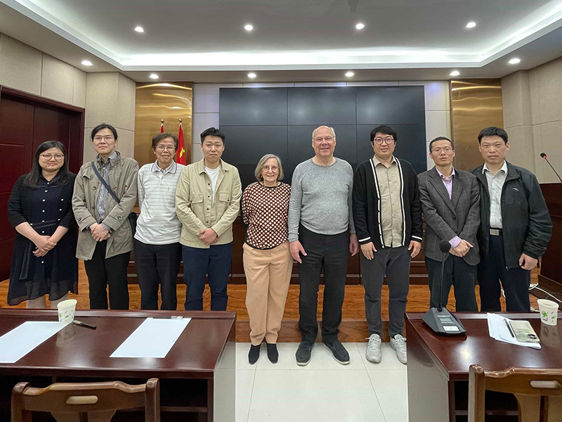
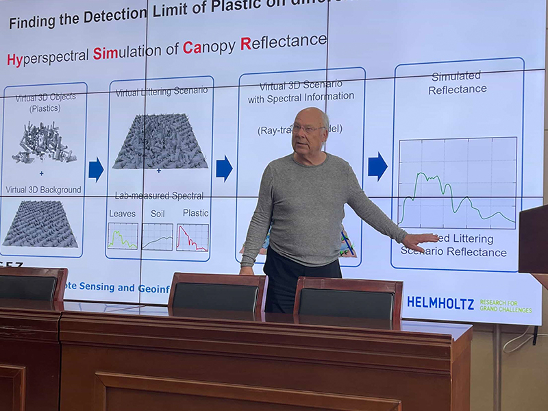
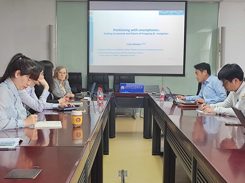
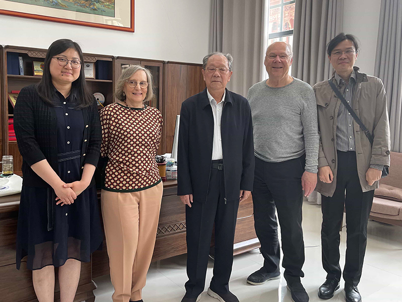
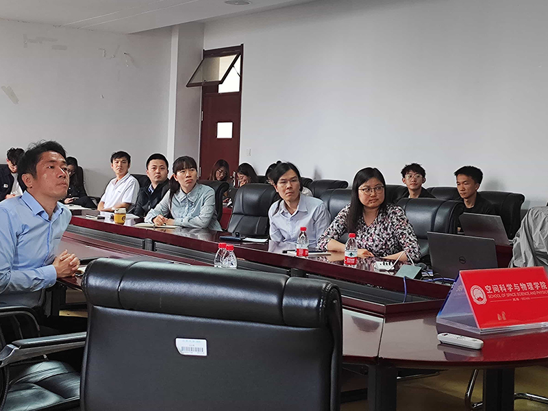
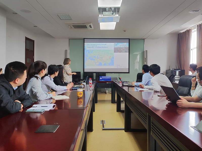
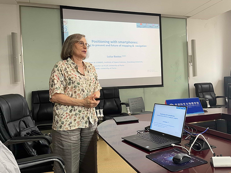
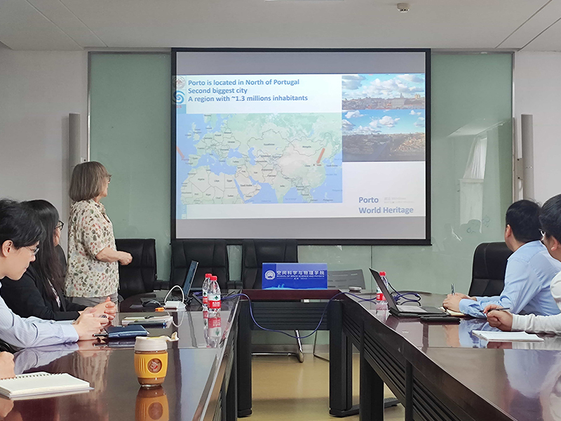
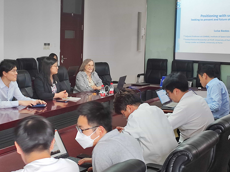
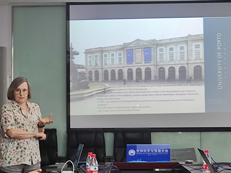
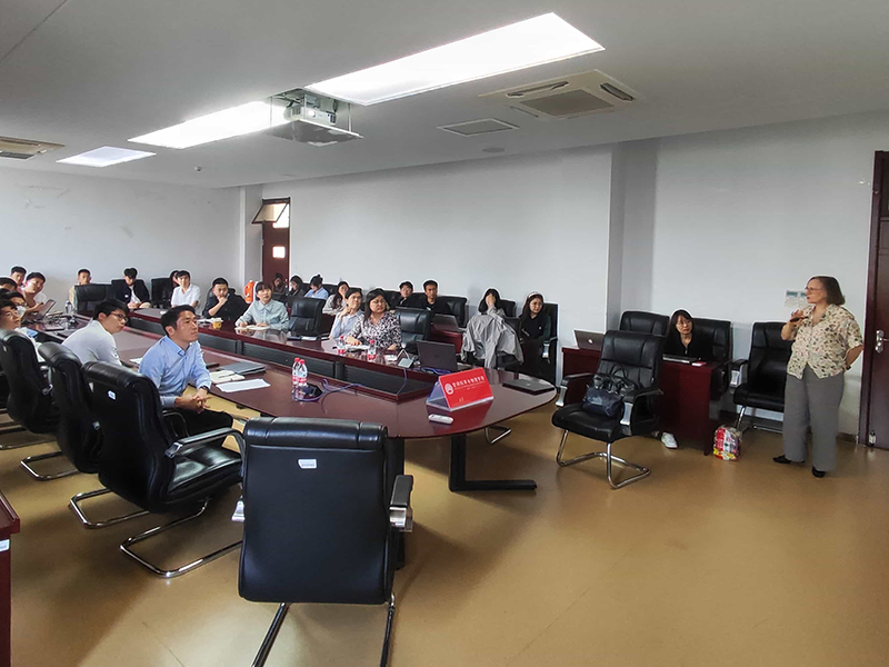
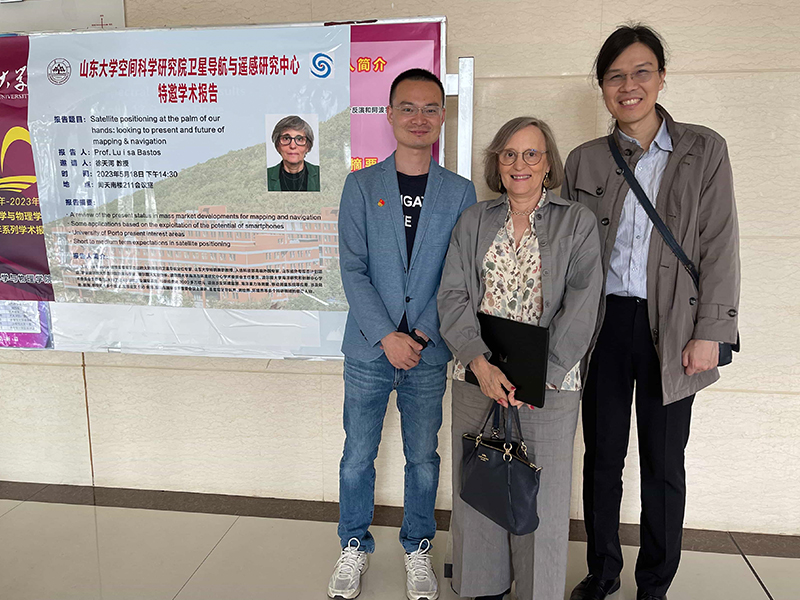
At the invitation of Professor Xu Tianhe, PI of the Satellite Navigation and Remote Sensing Research Group of the Space Science Climbing Team of Shandong University, three national high-level talents and specially-appointed foreign experts of the research group, Professor Luísa Bastos, Professor Hermann Kaufmann, and Professor Xu Guochang, came to Weihai to carry out work. From May 9 to 17, the international navigation and remote sensing space technology team, composed of Professor Luísa Bastos, Professor Hermann Kaufmann, Professor Xu Guochang, Associate Professor Xu Yan, and Director Xu Jia of the National High-tech Enterprise Weihai Wuzhou Satellite Navigation Technology Co., Ltd. and the National High-resolution Weihai Data Center, visited China University of Petroleum (East China), the First Institute of Oceanography of the Ministry of Natural Resources, Shandong University of Science and Technology, Henan University, North China University of Water Resources and Hydropower, Chang’an University and the Second Institute of Oceanography of the Ministry of Natural Resources to discuss cooperation and research activities. Three distinguished professors from Shandong University discussed and exchanged views with representatives of the above-mentioned units on topics such as satellite navigation and ocean research, satellite remote sensing and its application research, and the foundation of space technology industry construction, fully demonstrating the scientific research results of navigation and remote sensing technology disciplines, and exchanged views with the other units on the industrialization construction and application of navigation, remote sensing and space technology, and discussed cooperation. Each unit welcomed the team’s visit and introduced the relevant situation of their units in discipline construction, scientific research, etc.


Luísa Bastos

微信图片_20230512155946
 An outstanding Portuguese expert in geodesy and satellite navigation and positioning, a distinguished professor at Shandong University, selected as a high-end foreign expert by the Ministry of Science and Technology, and a member of the Shandong Province Foreign Experts Double Hundred Plan. He was the chief scientist of the Faculty of Science of the University of Porto, the director of the Porto Observatory, the chairman of the Academic Committee of the Center for Marine and Environmental Studies of the University of Porto, and the chairman of the Academic Committee of the Center for Marine Research and Innovation of the University of Porto. He has presided over nearly 40 EU and international projects with a research funding of more than 30 million euros. The projects involve applications such as environmental monitoring, marine gravity field measurement, and mobile measurement systems, involving multiple fields such as land, navigation, and aerospace. He has published more than 150 papers and has been invited to speak at many important international conferences. He is a leading figure in the Portuguese navigation, surveying and mapping, and environmental fields.


Hermann Kaufmann

微信图片_20230512160019
 He is a world-renowned expert in geology and remote sensing, an expert of the National Thousand Talents Program for Foreign Experts, and a distinguished professor at Shandong University. He has obtained the unique Habilitation qualification in Germany (i.e. a doctorate degree with top professorship), and is the principal investigator and person in charge of the European Space Agency’s EnMAP remote sensing satellite project. He has received 200 million euros in research and development and application funds for the payload platform operation of the project, and has presided over the German side of the Sino-German cooperation in the satellite radar monitoring of landslides in the Yangtze River Basin. He is one of the founders of the German Geoscience Center (GFZ), the founder and person in charge of the GFZ Remote Sensing Department, and the executive director of the GFZ Earth Remote Sensing Department. He is a C4-level (the highest level in Germany) professor at the University of Potsdam, and has trained nearly 60 doctoral students and more than 50 master students. He has close cooperation with scientific research institutions and scientists in 14 countries and regions, and has published more than 400 papers.


Xu Guochang

微信图片_20230512160025
 Expert in satellite navigation, remote sensing and space technology, honorary professor of the National Thousand Talents Program, researcher of the Shenzhen Institute of Advanced Technology of the Chinese Academy of Sciences, chief of the Space Technology Division of the Huaqiangbei International Maker Center, founder of the Satellite Navigation and Remote Sensing Discipline of Shandong University, former director of the Navigation and Remote Sensing Laboratory of Harbin Institute of Technology (Shenzhen), distinguished expert of the Thousand Talents Program of the Fifth Academy of Aerospace, chief of the Qian Xuesen Laboratory, senior researcher of the German National Laboratory GFZ for 21 years, and adjunct professor of the University of Lisbon/Copenhagen and the University of Neubrandenburg in Germany. He has participated in projects such as the German CHAMP satellite, the German-American Grace binary, the European Union Galileo, the German satellite altimetry, the European Union aerial remote sensing AGMASCO, and the post-mission orbit design of China’s Chang’e 2 mission. He presided over and participated in more than 20 scientific research projects such as the Shenzhen Peacock Team Project Remote Sensing Satellite Industry Construction Project and the National Major Project. He has published 14 books, more than 150 papers, designed 3 large-scale navigation software, and applied for more than 20 invention patents.
 
 
图片1
图片2
16
14
19
2
8
12
3
6
7
9
10
11
13
15
17
5

Visiting and Exchange at Shandong University of Science and Technology

Was cordially received by the principal Zeng Qingtian to discuss the cooperation of underwater positioning project

First Institute of Oceanography, Ministry of Natural Resources

Visit and exchange report

Visiting exchange at North China University of Water Resources and Hydropower

Visit the site of China’s first dragon and talk about archaeological projects.

Contact us

email address
connect@navi-tech.net

Weihai Wuzhou

Address

Huancui District, Weihai City, Shandong Province, China
5th Floor, Block C, No. 278 Wenhua West Road
86-0631-3683331

Copyright © 2025 Weihai Wuzhou Satellite Navigation Technology Co., Ltd. Lu ICP No. 16028888-1

Lu Public Network Security No. 37100302000382

Scroll to Top